We invite you to the journey around Karelian land.
The great road of ancient Karelians is a cultural and historical tourist route passing through the places of the ancient trade route from Korela to the White Sea. The route was used by Karelian trader Nousia in the Middle Ages. It was known among Karelians since ancient times.
The Karelian civilization should be tracked since ancient route “Varangians to the Greeks” passed through its territory.The development of the trade was the driver for the cities located on the great trade waterpathsto get strongerand so the Russian state grew.
So where did the Korelian land came from and who are these ancient Korels?
The whole medieval history is connected with Lake Ladoga. Here in the northwestern part of Ladoga area the ancient tribe Korela used to live. That is why Karelian Isthmus is called Karelian.
In those days Karelians were rather independent. They used to move along their waterways reaching the Gulf of Bothnia and the White Sea. Karelians settled in the territories they reached.
The great road of ancient Karelians is a story which tells how the trade routes influenced the settling of Karelians from the south to the north, about relationship between Novgorodians and Karelians, about the reign of Ivan III and Ivan the Terrible, about Orthodox spirituality in the North of Russia. And, of course, the route will show how people live today in these legendary lands of Karelia.
This route is a transformer. The stories automatically turn on in certain places. It does not depend on numbering. You can start in any part of the route and finish when you want.
The audio guide is under development at the moment.
Route One Karelia I The Great Path of the Ancient Karelians can be viewed and listened to on the storytelling platform izi.TRAVEL
All you need to do is: 1. Install the izi.TRAVEL application on your mobile gadget. 2. Find through the "search" the route you have chosen and press the button "Start". QR code per route
We made a translation of 4 points on the map :
№1 -Priozersk | Korela
The ancient tribe Korela used to live in the northwestern part ofLadoga area. Ancient Karelians were pagans and want to becomeneither Catholics as the Swedes nor Orthodox as the Novgorodians. They decided to retire and build a fortress somewhere on the island. They found such a place on the rushing river Vuoksa.But the construction did not go well. And one day they heard a voice of heaven:“You have chosen the wrong place for the fortress. You must sail further. And when you hear and see the cuckoo, that is the place for a future fortress.” The people obeyed and sailed on. More than once a cuckoo called to them, but they did not see it. Suddenly, they heard the cuckoo and saw its clear profile on a dry tree in the gloom of a white night. Right there they built their fortress. And the strait through which they arrived was named Kyakisalmi. Western chronicles and Russian annals date the beginning of the city to 1295.
№11- Liperi
The village of Liperi is located in the Kirkkolahti Bay, on the Lake Pyukhyaselkya. The Karelians already lived on this territory during the times of the Novgorod Republic. And here, the trade waterway of Novgorod merchantspassed through the Lake Pyukhyaselkya to the north. And where the Liperi lands ended, Sweden began.The constant struggle between the Swedes and the Novgorodians for these lands always either increased or subsided. In 1323 fragile peace was established in Karelia. And it continued until 1583 when Sweden re-established its dominance. This calm period lasted for a quarter of a millennium! And of course, this was particularly influential in the flourishing of trade along this entire waterway.
№25 - Kem
The city is named after the river at the mouth of which it is located. The history of Kem is closely connected with the history of the Russian North. According to the chronicle sources of the Solovetsky Monastery, the first settlers appeared in these places at the beginning of the 15th century. Before passing into the possession of the monastery, these lands belonged to the famous Novgorod boyar Martha Boretskaya. Kem was the gateway to the interior of the Russian lands. For example, from Kem, it was possible to get to the village of Shuya, located to the south on the same coast of the White Sea.According to Russian sources, there was an important state route from Shuya along the White Sea coast through the villages of Soroka and Suma and further south to Lake Onega in the 16th century. This route passed by land, and in winter in some places on ice. It connected the Solovetsky Monastery and the Karelian coast of the White Sea with Novgorod. Kem was the precious and desired land and constantly suffer attacks from the Swedes and the Finns.The relatively calm times came only due to the transformations of the Solovetsky Monastery in the middle of the 17th century.It was decided to defend the town with anostrog and give the residents weapons for defense.
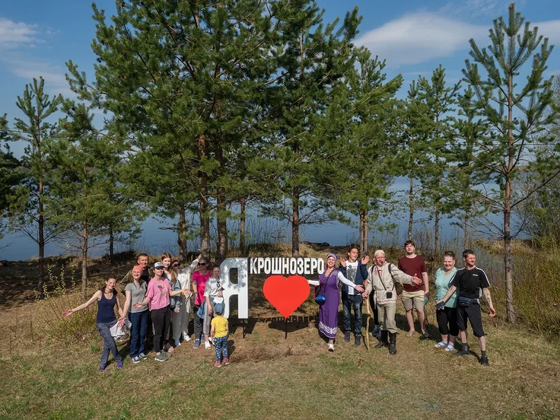
№37 - Kroshnozero
The story of the origin of the name Kroshnozero.
There used to be a lot of fish in Lake Kroshnozero. Ancient People carried fish from the lake in a special bag called "kroshn". It could increase or decrease in size depending on the amount of fish inside it. It was made of birch bark and people carried it on their backs. The lake has the same name as the village.
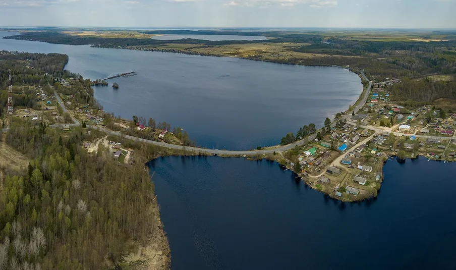
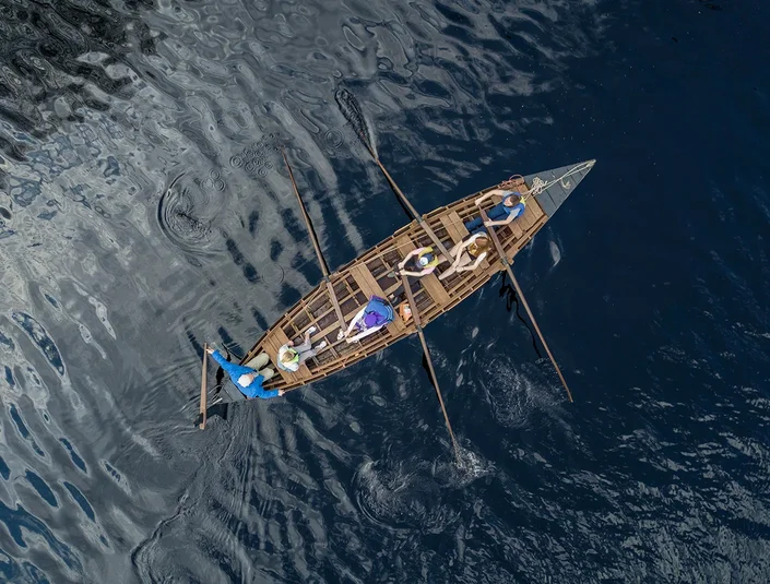
Kroshnozero is located 70 kilometers far from Petrozavodsk on the shore of Lake Kroshnozero. The lake is 10 kilometer long and 1 kilometer wide. The water area of the lake is calm. On the lake, tourists like swimming on SUP boards and spend their free time actively. In fact, it is possible to get to the White sea from lake Kroshnozero via the Shuya River and Lake Onega. One can reach the White Sea from lake Kroshnozero by kayaking and canoeing.
The first written mention of the village Kroshnozero is found in the scribal books called "a village on lake Kroshno" dated 1563. According to another version, the village was first mentioned even earlier in the census dated 1496, so the end of the 15th century.
In the village Kroshnozero, the first houses were built on the northern bank of the river. The first resident of the village was called Spirko (Spiridon). Initially, the village was called-Spiridon-Navolok (in Karelian it sounds as Pirdoy-niemi where niemi means peninsula).
Later, another house was built on the other side of the river. This house was called Kotchura (in Karelian "kodi" — house, church-side). Behind the village Spiridon-Navolok is located a village of Yorsh-navolok. There is a small lake in the village of Yorsh-navolok. In this lake, people can catch large ruffs (ruff in Russian means ‘yorsch’, that’s why the village got its name – Yorsh-navolok)
In Yorsh-Navolok there was the largest and most beautiful church. The ringing of the bell of this church was heard on the territory of Kroshnozero. There’s a legend that once the church bell fell into the lake, and residents sometimes can hear the booming bell ringing from the bottom of the lake.
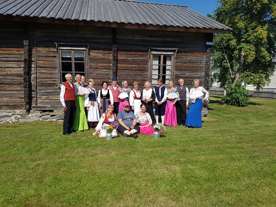
Saint Nicholas the Wonderworker is considered to be the patron of Kroshnozero residents. In his honor, there was built a chapel in the center of the village with donations from the locals. St. Nicholas always patronized travelers. We are going to meet our visitors by this church.
Advantages of the tour route "The Great Route of the Ancient Karelians":
1) The route is designed for independent tourists who are fond of the history of the Russian North. The goal is to organize and direct the tourist flow from big cities to rural areas, provide an opportunity to get off the usual routes to countryside and hear the stories of these places which are told from the heart.
2) Using the . The application is free, more than 5 million downloads. The platform is multilingual and is widely used in Europe and Russia.
3) This route is a transformer. The stories automatically turn on in certain places. It does not depend on numbering. You can start in any part of the route and finish when you want.
Thus, we encourage tourists to return to the route after a while.
4) The route is based on the results of the research "Demand for ethno-cultural tourism" carried out within the framework of the project "Ethno-cultural potential of the tourism industry of border areas" CBC "Karelia". As part of the study, 805 respondents were interviewed, of which 424 were citizens of the Russian Federation, 381 were from Finland. The survey showed that tourists usually spend their holidays with a family or in small groups, prefer ecological, historical, educational and ethno-cultural tourism; the most popular type of excursion service in Finland is “independent search and selection of a specialized program”.
Marina Sokolova - project manager of the tour route "The Great Way of the Ancient Karelians" across the territory of Karelia, head of a travel company SunRise, founder of the guest complex "Kroshnozero", organizer of excursions in Karelian villages, development of rural areas.
Tel.+7 911 421 42 48 sunrisesalon@mail.ru
Travel company SunRise /185031 Petrozavodsk city , Melentieva street, 28
Rassokha Oksana - project manager of the tour route "The Great Way of the Ancient Karelians" in Finland, project manager at the national Association for Rural Culture and Education of Finland, development of rural areas. oxana.rassokha@msl.fi